Project Developer VIC
Case Study - Drone Topographic Survey of Solar + BESS site in Regional Victoria
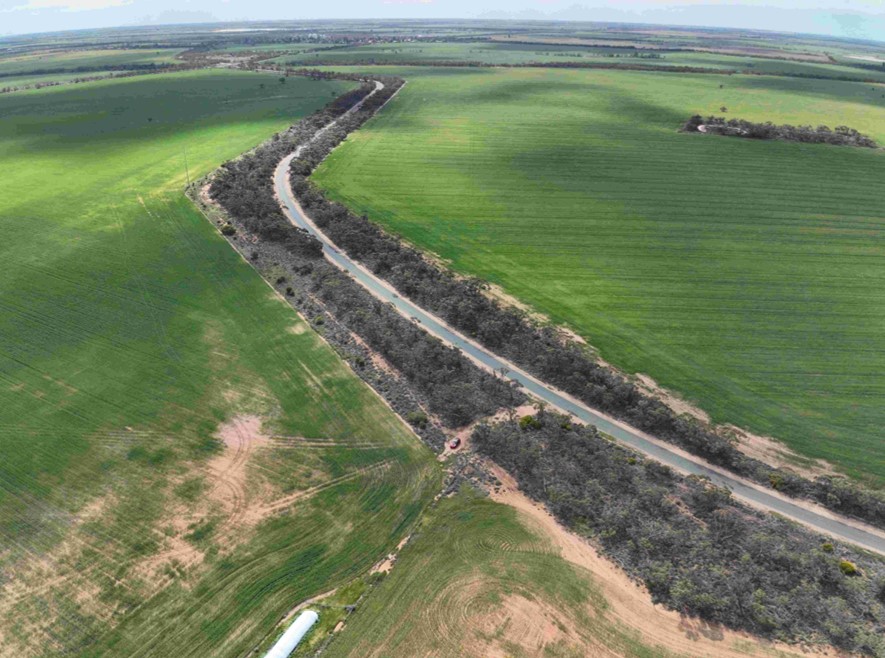
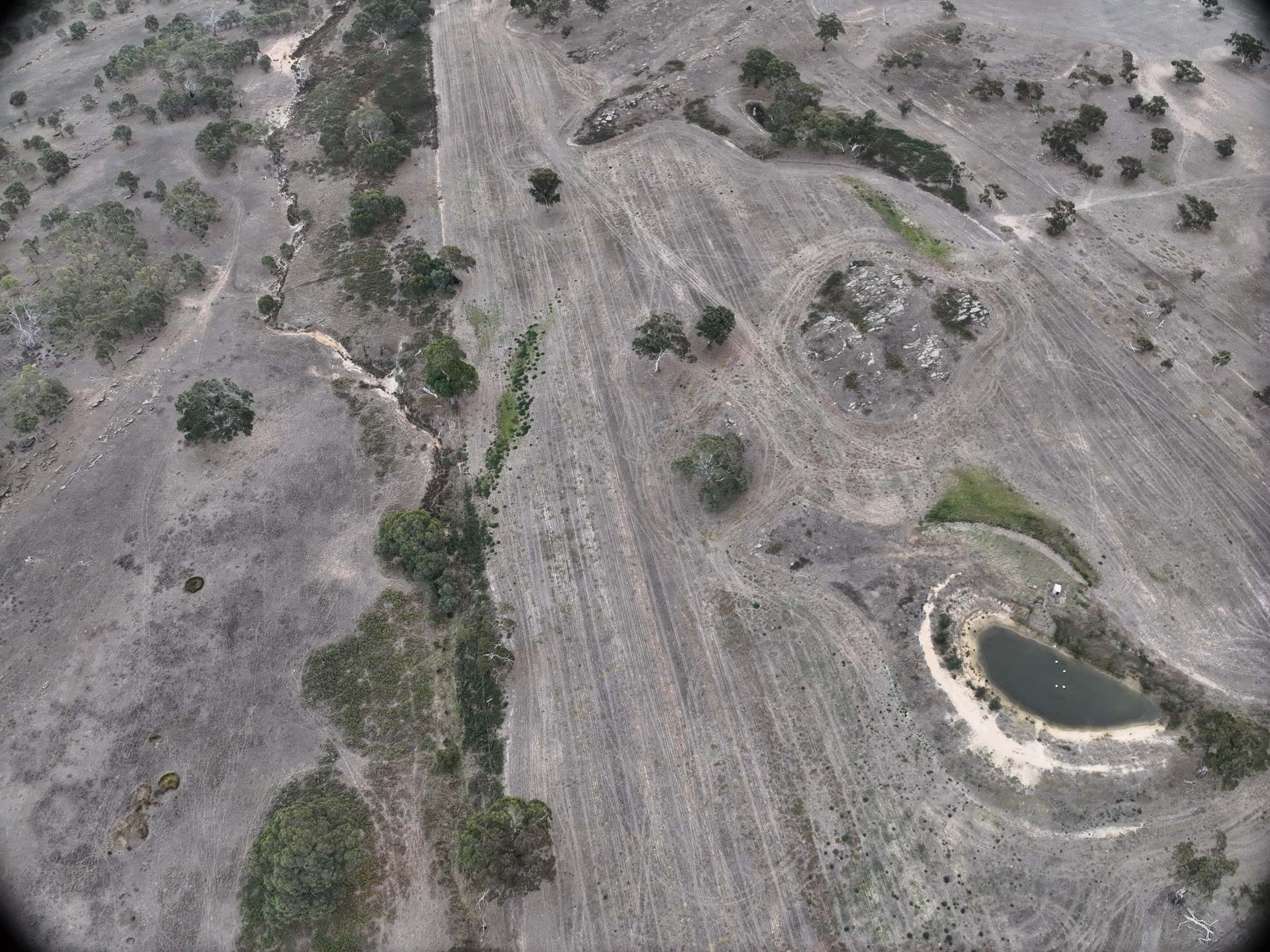
Enhar conducted a drone topographic survey across three land parcels in regional Victoria, each approximately 600 acres.
Key Achievements:
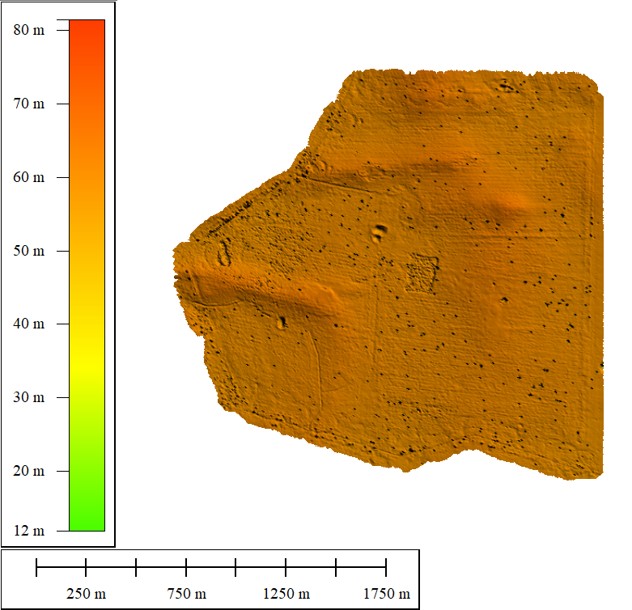
Key achievements included generating a seamless orthomosaic with 2cm/pixel resolution, identifying subtle undulations that could affect solar array efficiency, and producing topography reports that integrated GIS data for multi-layered analysis.
Highlights:
- Achieved 98% accuracy in elevation mapping.
- Mapped 1,800 acres in under 10 flight hours, reducing fieldwork time.
- Delivered contour details, revealing low-lying areas prone to water pooling.
- The survey generated high-resolution geospatial data, including orthomosaics, sparse Digital Surface Models (DSMs), initial image positions, and contour maps
Impact
- This drone survey had a profound impact on the solar + BESS project development trajectory, enabling cost savings and environmental benefits.
- By providing detailed topography data early, the project avoids redesigns that could have delayed approvals by months.
- The insights supported optimized site layouts, reducing land disturbance and preserving biodiversity corridors.

Project Scope
The scope encompassed full-siteaerial data capture, photogrammetry processing, and analytical reportingtailored to renewable energy needs. Enhar deployed DJI Mavic 3 Enterprise with RTK module for systematic grid flights at 80m altitude, ensuring overlap foraccurate stitching.
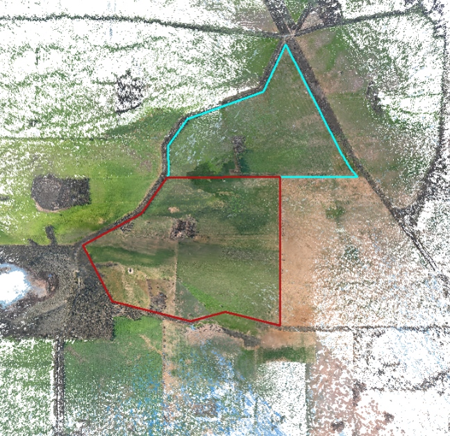
- Data Collection: Covered three 600-acre parcels with georeferenced imagery.
- Processing and Outputs: Created DEMs, contour maps and topography profiles showing undulations across the sites.
- Analysis: Assessed site constraints like slope stability, flood zones and infrastructure compatibility.
- Deliverables: Custom GIS files, PDF reports with visualizations, and 3D models exportable to CAD software.
Project Details
- The survey aimed to assess site suitability for a proposed 400 MW solar farm, focusing on terrain features that could impact panel placement, access roads, and flood risk management.
- Site location was regional Victoria with parcels featuring mixed agricultural land transitioning to renewable use.
- Survey outputs required were high-accuracy DEM, contour maps showing elevation, and 2D models highlighting undulations for optimal site layout.
- Purpose was to de-risk land acquisition and accelerate planning for sustainable energy infrastructure.


Project Challenges
Conducting a large-scale survey in regional Victoria presented several hurdles, which Enhar addressed through expertise and adaptive strategies.
- Weather Variability: Intermittent rain and wind in the area delayed flights; mitigated by flexible scheduling.
- Large Area Coverage: Managing 1,800 acres required efficient battery management and data handling; resolved with automated flight planning software and launch of drone from suitable areas
- Terrain Complexity: Undulations and vegetation obscured some areas; overcome by post-processing filters for accurate topography.
- Regulatory Compliance: Adhered to CASA drone regulations and environmental guidelines; ensured through licensed pilots and minimal site disruption.
Need advice on a project?
We're here to help.
Our mission is to raise the standard of the solar and smart energy sector through excellence in project development, engineering and quality management.